Fairfield, Ohio
| Fast Facts | |
| Scope | Boundary resolution along a two-mile urban corridor |
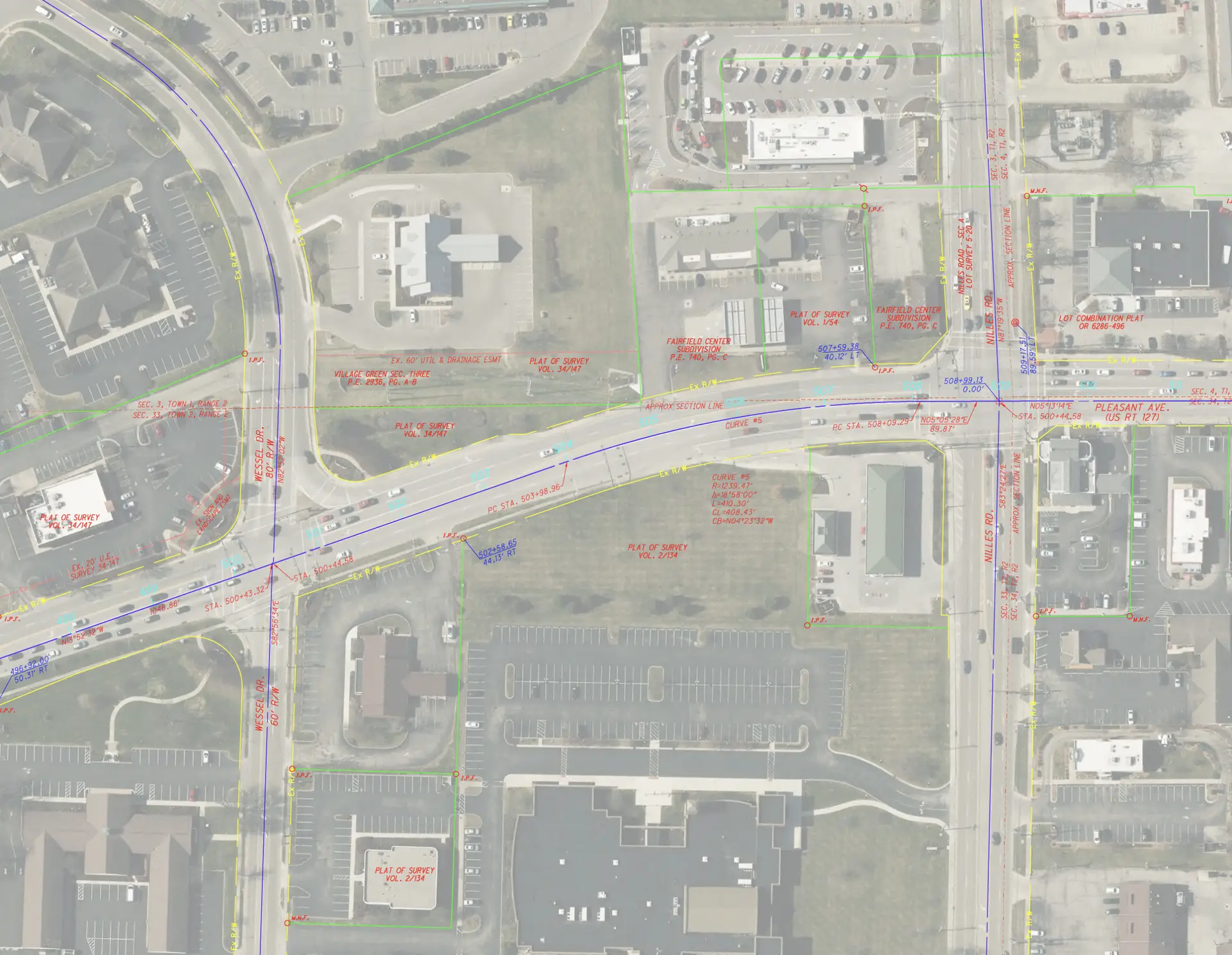
| Services | Schematic right-of-way and property line drawings, mag nail setting |
| Client | City of Fairfield |
The Project:
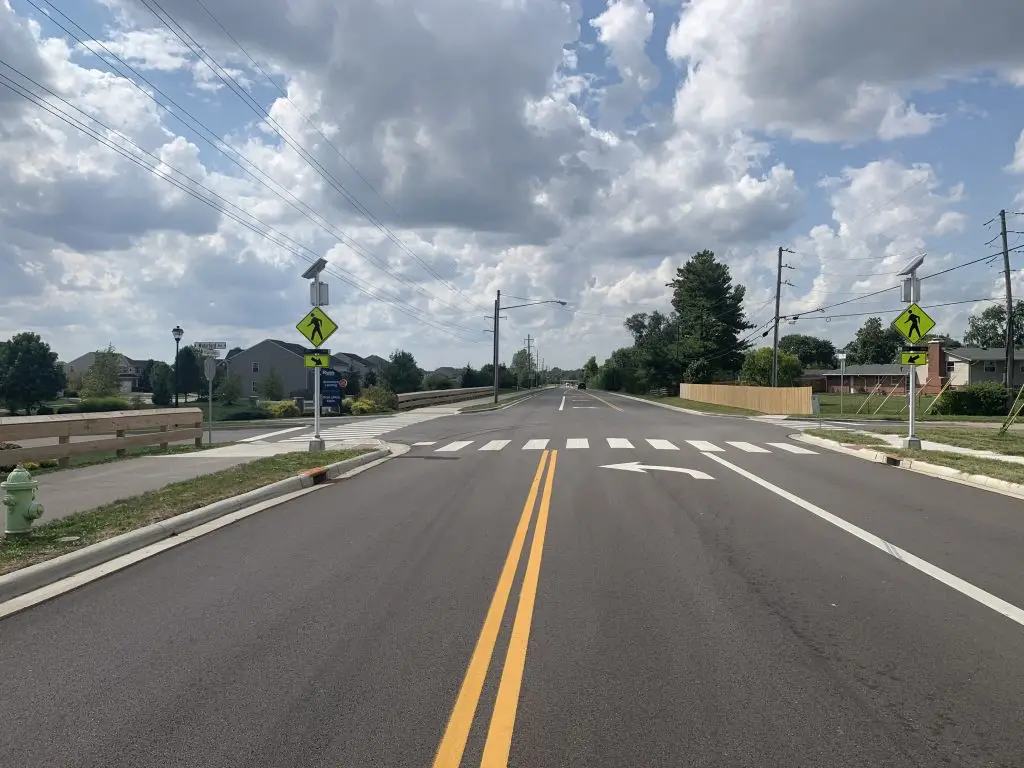
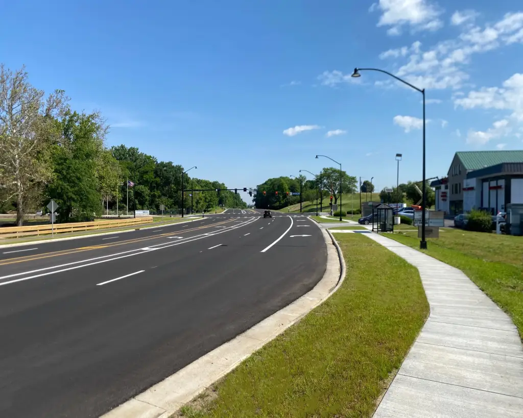
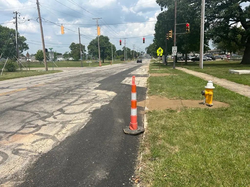
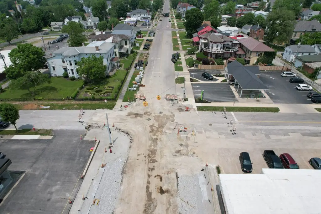
Pleasant Avenue (SR 127) runs approximately two miles through the City of Fairfield, Ohio, and was slated for future growth and improvements in the coming years. Before the corridor could support future projects, the City needed a clear, reliable record of where the road right-of-way ended and private property began.
The Challenge:
Resolving boundaries along an active, two-mile urban corridor wasn’t straightforward. Years of development, deed transfers, and aging monumentation had left details about property lines and conditions unclear. Without careful research and consistent communication, boundary disputes could stall future projects before they had a chance to start.
How We Helped:
Choice One performed extensive records research and a field survey along the corridor to establish accurate property and right-of-way limits. We documented the findings and worked closely with city staff to support future planning efforts.
The Result:
The City of Fairfield received a complete, accurate boundary record for the Pleasant Avenue corridor. With right-of-way and property lines clearly established, the City gained the foundation it needed to move forward with confidence on future infrastructure investments.